city plan
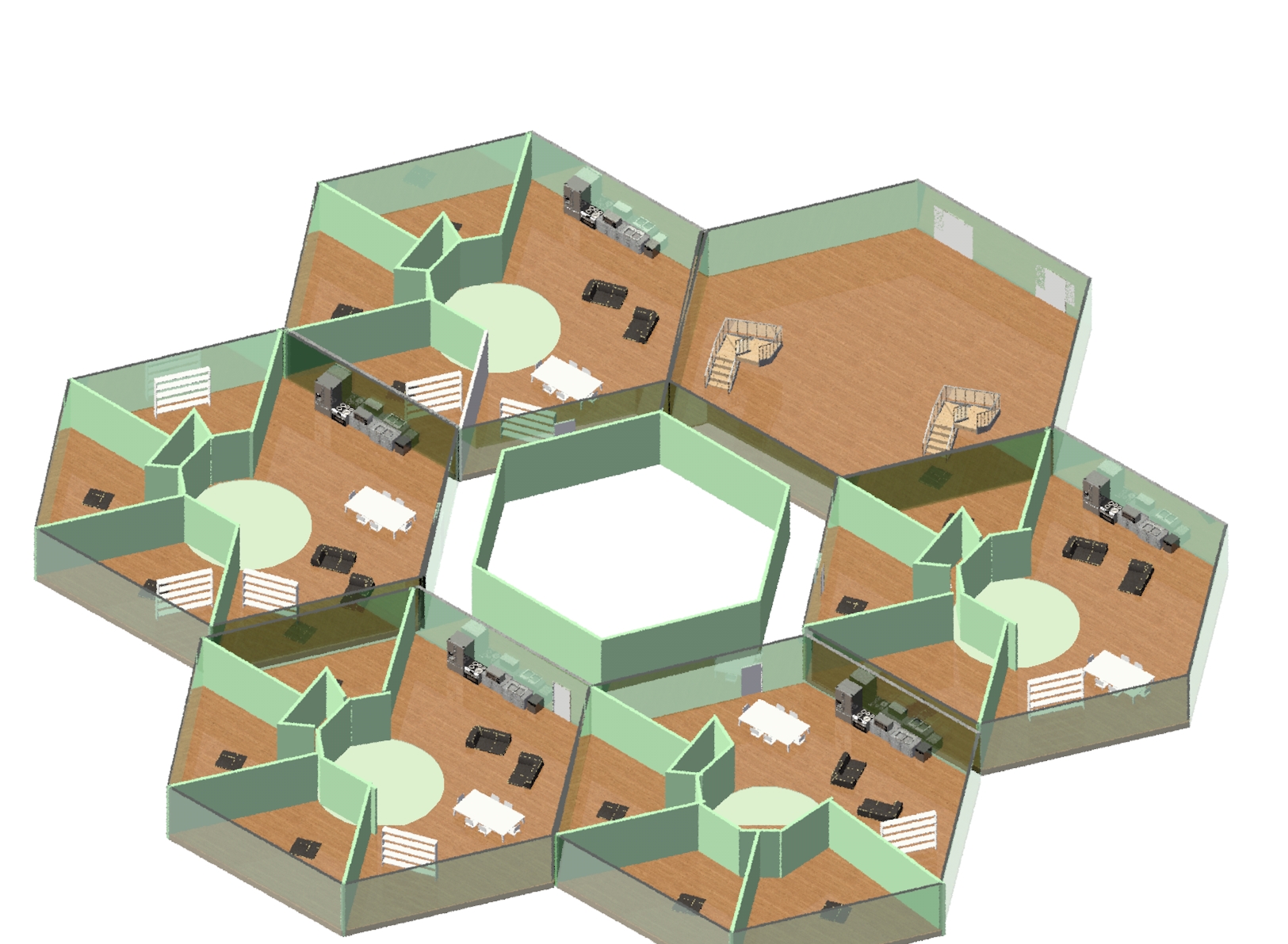
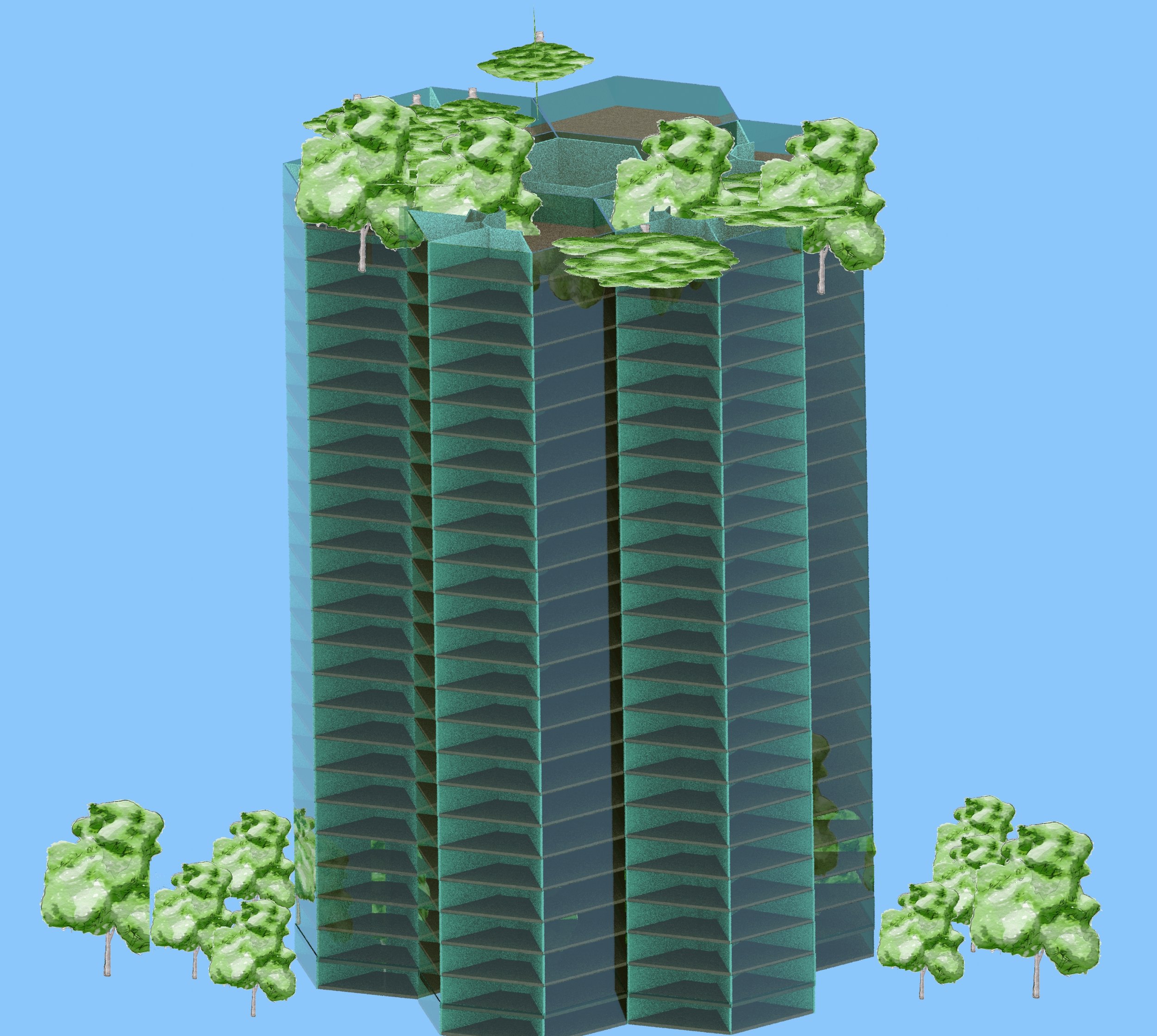
Fordhamopolis is designed to accommodate a population of 100,000 within 2 square miles. The city plan consists of neighborhood modules repeated to create boroughs. each neighborhood can house 9,600 people and features 12 buildings arranged in clusters of 3 around a large public space comprised of a 2.6 acre, central public park with greenery, water features, and walking and biking trails, and four public plazas, each about 0.7 acres in size, located between each cluster of buildings. The buildings in question are 50 story mixed use constructions, the first 10 floors serving commercial, municipal, educational, and institutional functions. The remaining 40 floors are residential and can house an average of 20 people per floor in 5 apartments, putting the capacity of each building at 800 people. The plazas between each set of 3 buildings will serve as loci for outdoor markets from surrounding stores, outdoor restaurant and cafe terraces, and community activities and interactions.

legend


A group of 4 neighborhoods comprises a borough, and the entire city consists of 3 boroughs aligned facing south. All of the vertical farms will be interspersed between the southernmost neighborhoods. The layout of the boroughs is such that large areas remain in the center of and surrounding the complex of neighborhoods. The matrix between neighborhoods facing south will house all vertical farm complexes to maximize their exposure to sunlight. The 10.6 acre square area at the center of each borough will be allocated to industries, where the production of any materials and products will take place.
neighborhood plan

Two kinds of circulation pathways will connect these factories to the surrounding neighborhoods: at grade, bike paths and pod rails for the movement of people, and flight paths for the transportation of goods to retail locations by A.I. controlled drones of various sizes. This airborne transportation will avoid cluttering human circulation routes with industrial transport, and the design of all buildings will feature a hollow central core within which drones can descend and stop at any floor for deliveries . The outer sides of mixed use buildings (facing away from the central plazas and parks) will feature ground floor retail, connected by circulation paths. The three central sections in blue represent zones for all municipal, educational, and institutional buildings, which will low constructions scattered among greenery. The outer orange sections represent the zones allocated to industrial production.